

Why the Oirase Gorge is one of Japan's great walks
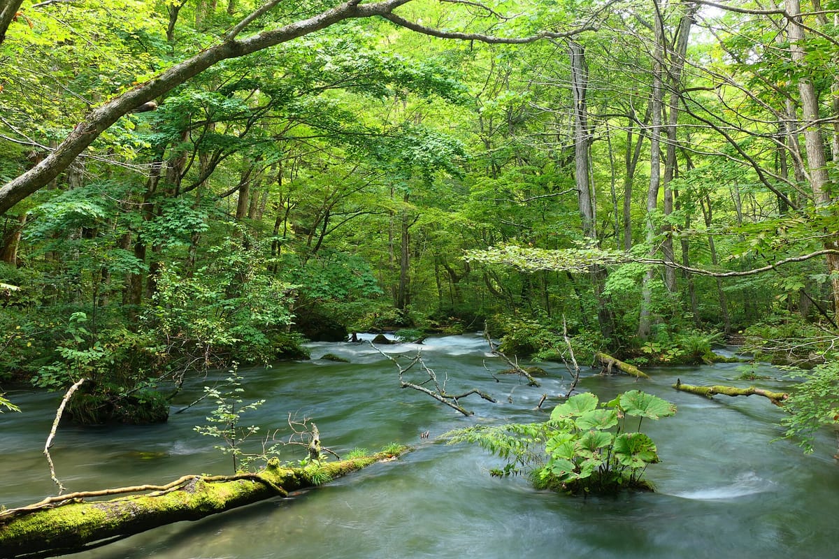
Lake Towada is a caldera lake on the border of Aomori and Akita, and the Oirase is its only natural outlet. The stream leaves the lake at Nenokuchi and flows about fourteen kilometres to Yakeyama through a U-shaped valley, dropping gently the whole way. The water is clear, the banks are thick with ferns and moss, and the forest of beech, horse chestnut, Japanese walnut and maple closes over the path like a green tunnel.
What makes it special is how close you are to the water. The path runs at almost the same level as the stream, beside the rapids and pools rather than on a ridge above, so you walk with the sound of water the whole way. The valley walls are streaked with waterfalls, so many that the upper stretch is nicknamed the waterfall road, and the rocks are covered with so many kinds of moss that the forest has been recognised as one of Japan's valuable moss forests.
For a learner, the Oirase is a quiet place to practise reading: the trail signs name each waterfall and rapid in kanji, with distances in kilometres and minutes, and you will read them dozens of times in an afternoon.
Getting there: seasonal buses from Aomori and Hachinohe
Buses run from JR Aomori Station and from JR Hachinohe Station, on the Tōhoku Shinkansen, to Lake Towada, following the road beside the Oirase stream and stopping at the main points along it: Yakeyama at the lower end, Ishigedo, several stops beside the waterfalls, and Nenokuchi at the lake, before ending at Yasumiya, the lakeside village. From Aomori the ride to Yasumiya takes close to three hours; from Hachinohe a little over two.
These are seasonal services with limited departures, and they do not run in winter, from mid-November through March. Check the timetable in advance, plan your walk around the last bus, and remember that on autumn weekends traffic on the narrow road can make buses late. From Yasumiya, sightseeing boats cross the lake to Nenokuchi in about fifty minutes, a good way to start or end the walk.
| Japanese | Romaji | Meaning |
|---|---|---|
| 十和田湖行きのバス乗り場はどこですか。 | Towadako-iki no basu noriba wa doko desu ka. | Where is the bus stop for Lake Towada? |
| このバスは石ケ戸に止まりますか。 | Kono basu wa Ishigedo ni tomarimasu ka. | Does this bus stop at Ishigedo? |
| 子ノ口で降ろしてください。 | Nenokuchi de oroshite kudasai. | Please let me off at Nenokuchi. |
| 最終バスは何時ですか。 | Saishū basu wa nanji desu ka. | What time is the last bus? |
| 予約は必要ですか。 | Yoyaku wa hitsuyō desu ka. | Do I need a reservation? |
Along the stream: waterfalls, rapids and still pools
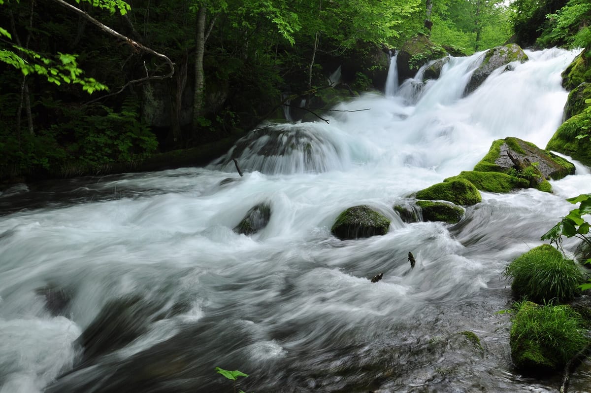
The upper section, from Nenokuchi down to Ishigedo, is the one most people walk, because it holds the most famous sights. Near the lake, Chōshi Ōtaki spans the whole stream: about seven metres high and twenty wide, it is the only waterfall on the main stream itself, and it is said to have kept fish from swimming up into Lake Towada. Further down, the valley walls send one waterfall after another into the stream.
Below them, the Ashura no nagare, the Ashura rapids, is the image on most posters: the water rushes white and fast between boulders and mossy islets. Kumoi no taki, a three-tiered fall of about twenty metres, drops from the valley side. Ishigedo, at the lower end of the popular section, has a rest area and a large rock with a legend attached, about a woman bandit who once lived there.
- Nenokuchi: the lake end of the stream, with the boat pier and a water gate that controls the flow.
- Chōshi Ōtaki: the waterfall across the main stream, seven metres high and twenty wide.
- The waterfall road: a stretch where many falls pour down the valley walls.
- Kumoi no taki: a three-tiered waterfall about twenty metres high.
- Ashura no nagare: the famous rapids, fast and white among the boulders.
- Ishigedo: a rest area at the lower end of the popular walk, with a legendary rock.
- Yakeyama: the lower end of the stream and the gateway from Aomori.
Words on the trail signs
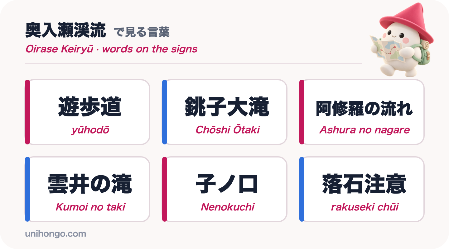
Trail signs at Oirase name the sights in order and give distances. 遊歩道, yūhodō, is the walking path, and it often appears with an arrow and a distance in kilometres. 滝, taki, waterfall, is the kanji you will see most often; after another word it usually becomes -daki, as in Chōshi Ōtaki, where 大滝 is read ōtaki.
Watch for warnings too. 落石注意, rakuseki chūi, beware of falling rocks, appears below the steep valley walls, and in the forests of Tōhoku it is worth knowing the warning for bears, 熊, kuma, too.
| Word | Reading | Meaning |
|---|---|---|
| 遊歩道 | yūhodō | Walking path |
| 銚子大滝 | Chōshi Ōtaki | The waterfall across the main stream |
| 阿修羅の流れ | Ashura no nagare | The Ashura rapids |
| 雲井の滝 | Kumoi no taki | Three-tiered waterfall on the valley side |
| 子ノ口 | Nenokuchi | The lake end of the stream |
| 石ケ戸 | Ishigedo | Rest area at the lower end of the popular section |
| 焼山 | Yakeyama | The lower end of the stream |
| 落石注意 | rakuseki chūi | Beware of falling rocks |
| 熊出没注意 | kuma shutsubotsu chūi | Beware of bears |
Japanese for the trail, the bus and the waterfalls
On the trail, conversations are short and friendly: other walkers and staff at the rest areas will tell you how far the next waterfall is, where the bus stops are and whether the path is muddy. Distances come in minutes on foot, aruite ~pun, more often than in kilometres.
At the bus stops, the key questions are which direction the bus is going and when the last one leaves. The phrases below cover both.
| Japanese | Romaji | Meaning |
|---|---|---|
| 銚子大滝はこの先ですか。 | Chōshi Ōtaki wa kono saki desu ka. | Is Chōshi Ōtaki further along here? |
| 阿修羅の流れまで何分くらいですか。 | Ashura no nagare made nanpun kurai desu ka. | About how many minutes to the Ashura rapids? |
| このバス停から十和田湖方面に行けますか。 | Kono basutei kara Towadako hōmen ni ikemasu ka. | Can I go towards Lake Towada from this bus stop? |
| 遊歩道はぬかるんでいますか。 | Yūhodō wa nukarunde imasu ka. | Is the path muddy? |
| トイレはどこにありますか。 | Toire wa doko ni arimasu ka. | Where is the toilet? |
| 熊は出ますか。 | Kuma wa demasu ka. | Do bears appear around here? |
Safety, seasons and timing
The Oirase trail is gentle and well marked, but it is still a forest walk beside a road, and a few habits keep the day easy.
- Plan the walk around the bus timetable, and know the time of the last bus before you start.
- Wear shoes with a grip: the path is often wet, with roots, mud and stepping stones.
- Carry a bear bell or talk as you walk in quiet stretches, and follow any bear warnings posted.
- Stay on the path. The moss and the stream banks are protected, and the rocks are slippery.
- Autumn colour peaks from late October to early November; go on a weekday if you can, as roads jam at weekends.
- There are few shops along the stream; bring water and snacks, and take all rubbish with you.
Practise the trail before you go
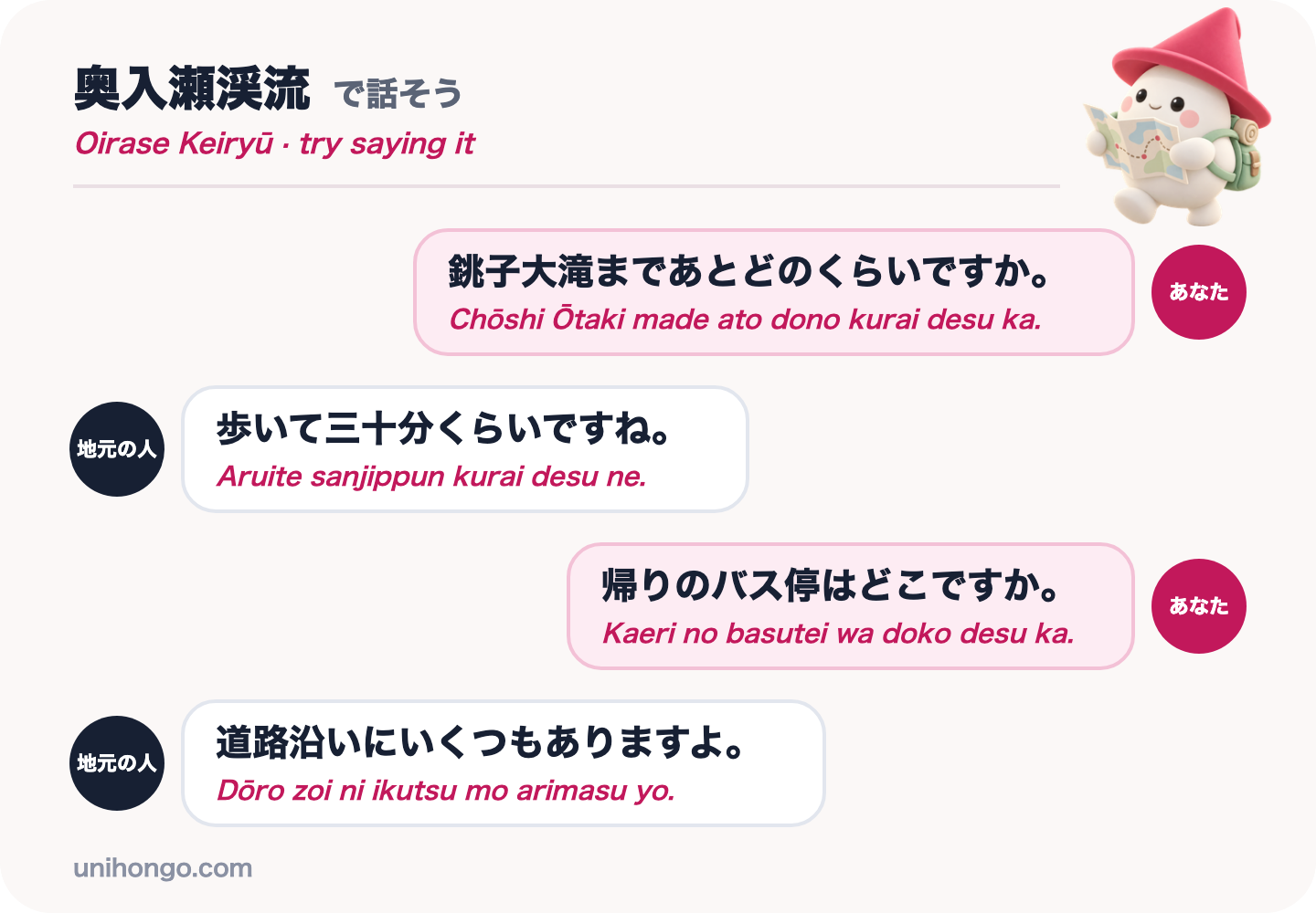
The conversations you are most likely to have on the Oirase trail are about distance and the bus. Practise the four lines below until you can say them without reading, and listen in the answers for the time on foot, aruite ~pun, and the word dōro, road, where the bus stops are.
Then practise with a partner who answers back. In Unihongo, choose the Directions topic and ask your AI Sensei to play a local walker at the Oirase stream, or choose the Sightseeing topic to rehearse asking about the waterfalls. Speaking the lines once before you go is what makes them come out on the trail.
| Japanese | Romaji | Meaning |
|---|---|---|
| 銚子大滝まであとどのくらいですか。 | Chōshi Ōtaki made ato dono kurai desu ka. | How much further to Chōshi Ōtaki? |
| 歩いて三十分くらいですね。 | Aruite sanjippun kurai desu ne. | About thirty minutes on foot. |
| 帰りのバス停はどこですか。 | Kaeri no basutei wa doko desu ka. | Where is the bus stop for the way back? |
| 道路沿いにいくつもありますよ。 | Dōro zoi ni ikutsu mo arimasu yo. | There are several along the road. |
Official information
The Lake Towada tourism site publishes access information, walking maps of the Oirase stream and seasonal news, and japan-guide.com keeps a practical summary of the buses and walking times. Check the bus timetable before you set out, especially in spring and late autumn.