
Why Niseko is more than a ski resort
In winter, Niseko is one of the most famous ski destinations in Asia. Cold air from Siberia picks up moisture over the Sea of Japan and drops it as light, dry powder on the Niseko range, and skiers and snowboarders from around the world come to ride it. Hirafu, the main ski village, has grown into a small international town of hotels, restaurants and bars, where you are as likely to hear English as Japanese.
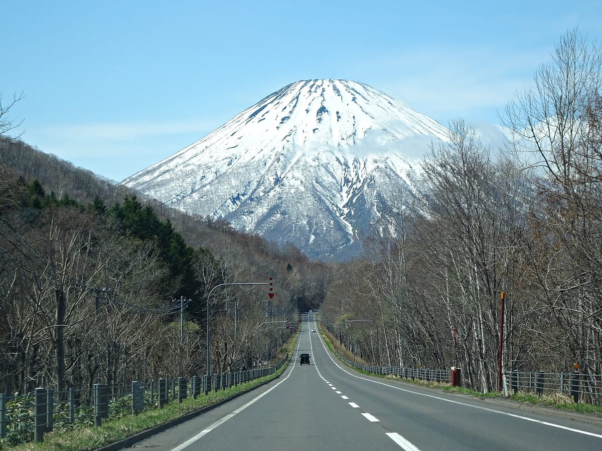
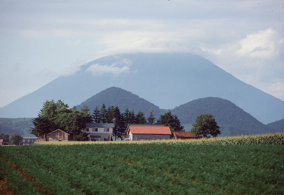
But Niseko is also a rural corner of Hokkaido with a strong sense of place. The name comes from the Ainu language, and the area is a patchwork of potato and dairy farms, small towns, rivers and hot springs spread around two mountains. On one side stand the gentle peaks of the Niseko range, with Mount Niseko-Annupuri and its ski slopes. On the other, alone in the middle of the valley, rises Mount Yōtei, a 1,898-metre volcano whose symmetrical cone has earned it the nickname Ezo Fuji. It appears in almost every view, and people across the area orient themselves by it.
For a Japanese learner, the contrast is the point. In Hirafu you can get by in English; in Kutchan's supermarkets, Niseko Town's station, the hot springs in the hills and the mountain trailheads, Japanese is the language of everyday life, and a few phrases make the region feel much more your own.
Getting there: Kutchan, Niseko Station and the airport buses
The JR Hakodate Main Line runs through the area between Otaru and Oshamambe. From Sapporo, most people change at Otaru for a local train to Kutchan Station, the main town and transport hub for Hirafu, in around two hours in total. Niseko Station, in Niseko Town, is a few stops further along. Trains on this section are infrequent, so check times before you set off.
From Kutchan Station, local buses and taxis run to Hirafu in about fifteen minutes and on to the other resort bases. In winter, seasonal buses run directly from New Chitose Airport and Sapporo to the resorts, which is the easiest option with ski luggage. In the green season, a rental car makes it far easier to reach the trailheads, onsen and viewpoints scattered around the valley.
| Japanese | Romaji | Meaning |
|---|---|---|
| 倶知安までの乗り換えは小樽ですか。 | Kutchan made no norikae wa Otaru desu ka. | Do I change at Otaru for Kutchan? |
| ひらふ行きのバスはどこから出ますか。 | Hirafu-yuki no basu wa doko kara demasu ka. | Where does the bus to Hirafu leave from? |
| ニセコ駅に止まりますか。 | Niseko-eki ni tomarimasu ka. | Does it stop at Niseko Station? |
| タクシーを呼んでもらえますか。 | Takushī o yonde moraemasu ka. | Could you call a taxi for me? |
| 次の電車は何時ですか。 | Tsugi no densha wa nanji desu ka. | What time is the next train? |
Towns, Mount Yōtei and hot springs: what you will find
Each part of the area has a different character. Kutchan is a working town with a station, supermarkets, a main street and local restaurants, and it declares itself a ski town. Hirafu, on the slopes above it, is the resort village of lodges and bars. Niseko Town, to the south-west, is quieter and more agricultural, with Niseko Station, riverside fields along the Shiribetsu River and views of both mountains. Rankoshi, further west, reaches up into the hot spring country of the Niseko range.
Mount Yōtei is the landmark that ties them together. In the snow-free months, hikers climb it by one of four trails; the summit has a crater and alpine flowers in summer, and on clear days views of both the Sea of Japan and the Pacific. Snowmelt from the mountain seeps through the volcanic rock and emerges as springs at its foot, most famously at Fukidashi Park in Kyōgoku, where visitors fill bottles with the cold spring water.
Hot springs are everywhere in the Niseko area, from hotel baths in Hirafu and Niseko Village to old-style onsen in the hills. Niseko Goshiki Onsen, high on the range near Mount Iwaonupuri, is one of the best known; the mountain roads to it, including the Niseko Panorama Line, close for the winter, so check access before you go.
- Kutchan: the station town and transport hub, with everyday shops and restaurants.
- Hirafu: the main ski village, busy in winter and much quieter in summer.
- Niseko Town: farms, the Shiribetsu River and Niseko Station.
- Mount Yōtei: the 1,898-metre volcano, climbable in the snow-free months.
- Fukidashi Park: spring water from Mount Yōtei in the town of Kyōgoku.
- Niseko Panorama Line: a mountain road with views and onsen, closed in winter.
- Onsen across the area, from resort hotels to old hot spring inns in the hills.
Signs around Niseko
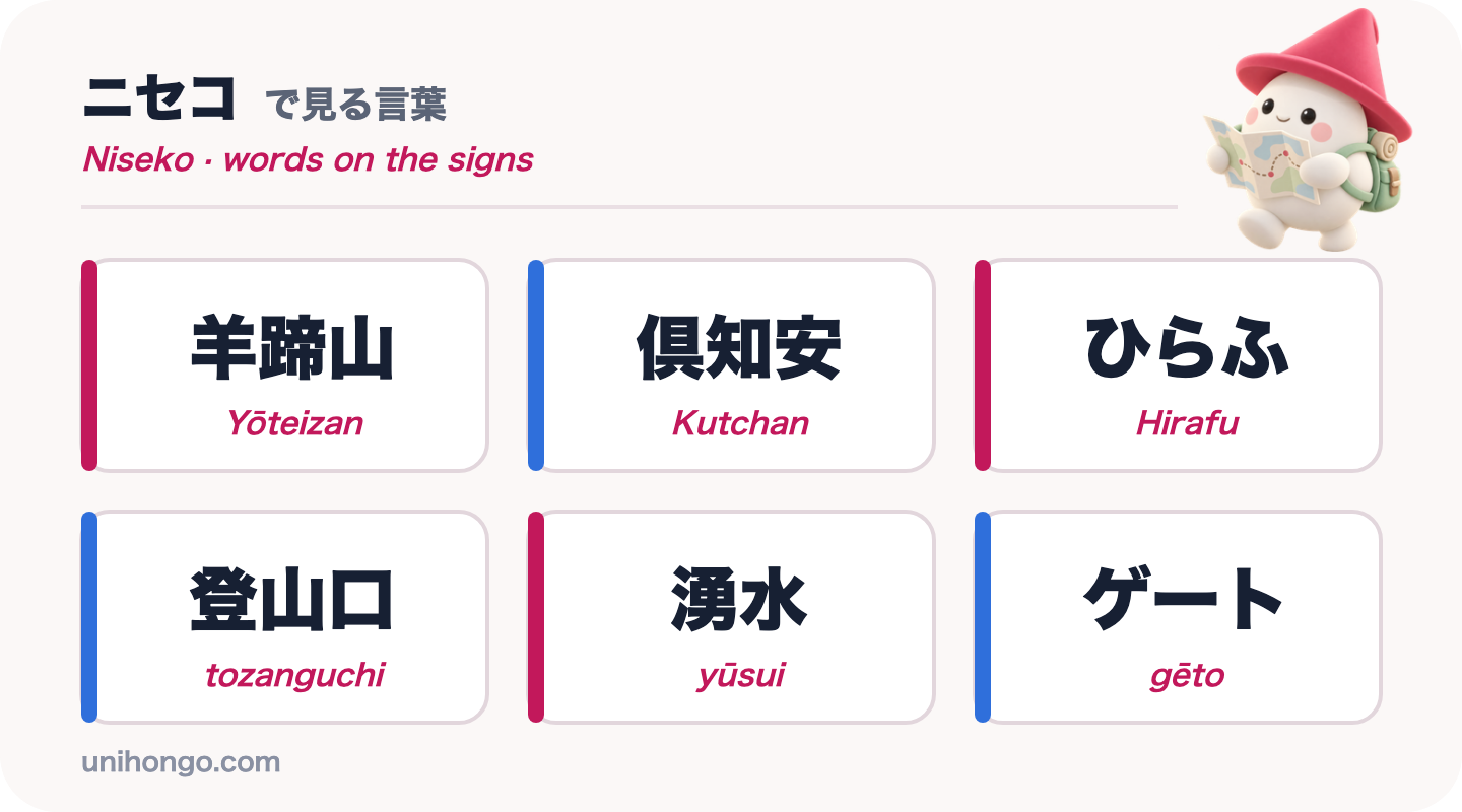
Many signs in Hirafu are bilingual, but road signs, trailhead boards and notices in the towns are mostly in Japanese. The names themselves are a mix: Niseko is written in katakana, ニセコ, Hirafu often in hiragana, ひらふ, and Kutchan in kanji chosen for their sound, 倶知安.
In the hills, look for 登山口, tozanguchi, trailhead, and 湧水, yūsui, spring water. In winter on the slopes, the backcountry gates are marked ゲート, gēto, and the signs beside them tell you whether they are open or closed.
| Word | Reading | Meaning |
|---|---|---|
| 羊蹄山 | Yōteizan | Mount Yōtei |
| 倶知安 | Kutchan | The station town and hub of the area |
| ひらふ | Hirafu | The main ski village above Kutchan |
| 登山口 | tozanguchi | Trailhead |
| 湧水 | yūsui | Spring water |
| ゲート | gēto | Backcountry gate on the ski slopes |
| 通行止め | tsūkōdome | Road closed |
| 冬期閉鎖 | tōki heisa | Closed for winter |
| 雪崩注意 | nadare chūi | Beware of avalanches |
Japanese for planning a Mount Yōtei climb
Climbing Yōtei is the classic green-season challenge in Niseko, and tourist information centres, lodges and outdoor shops are good places to ask about it. The questions that matter are simple: can it be done in a day, how do you reach the trailhead, what is the weather doing, and what should you carry. Staff may also warn you about bears and about the cold near the summit.
The phrases below cover the planning and the day itself. Remember that mountain weather changes fast, so ask about tomorrow's forecast the evening before.
| Japanese | Romaji | Meaning |
|---|---|---|
| 羊蹄山の登山口はどこですか。 | Yōteizan no tozanguchi wa doko desu ka. | Where is the trailhead for Mount Yōtei? |
| 頂上まで何時間くらいかかりますか。 | Chōjō made nanjikan kurai kakarimasu ka. | About how many hours to the summit? |
| 明日の山の天気はどうですか。 | Ashita no yama no tenki wa dō desu ka. | What's the mountain weather like tomorrow? |
| クマは出ますか。 | Kuma wa demasu ka. | Are there bears around? |
| 水はどこで補給できますか。 | Mizu wa doko de hokyū dekimasu ka. | Where can I refill water? |
| この近くに日帰り温泉はありますか。 | Kono chikaku ni higaeri onsen wa arimasu ka. | Is there a day-use onsen near here? |
Seasons, safety and practical tips
Niseko changes completely through the year, and so do the rules and risks.
- Winter, roughly December to March, brings deep powder, crowds in Hirafu and the busiest accommodation of the year.
- Under the Niseko Rules, leave the resort boundary only through the official gates, carry a beacon and wear a helmet, and stay out when the gates are closed.
- Spring and autumn are quiet shoulder seasons, when some restaurants and lodges in Hirafu close.
- Summer brings rafting on the Shiribetsu River, hiking, cycling and mild weather.
- Brown bears live in the forests and on Mount Yōtei; make noise on trails and never leave food out.
- Mountain roads such as the Niseko Panorama Line close in winter; check road information before driving.
Practise planning the climb before you go
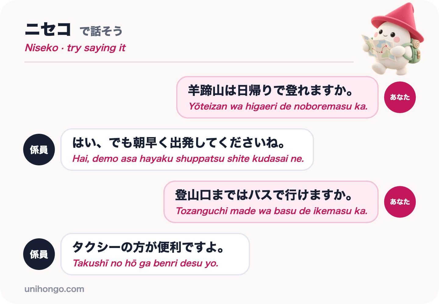
The conversation you are most likely to have before a Yōtei climb is at a tourist information counter or with your lodge host. Practise the four lines below until you can say them without reading, and listen for the advice that follows demo, but, in the reply.
Then practise with someone who answers back. In Unihongo, choose the Sightseeing topic and ask your AI Sensei to play the staff at a tourist information centre in Kutchan, or choose the Taxi topic to rehearse getting to the trailhead. Saying the lines aloud once before the trip makes them easy to use on the day.
| Japanese | Romaji | Meaning |
|---|---|---|
| 羊蹄山は日帰りで登れますか。 | Yōteizan wa higaeri de noboremasu ka. | Can you climb Mount Yōtei as a day trip? |
| はい、でも朝早く出発してくださいね。 | Hai, demo asa hayaku shuppatsu shite kudasai ne. | Yes, but please set off early in the morning. |
| 登山口まではバスで行けますか。 | Tozanguchi made wa basu de ikemasu ka. | Can I get to the trailhead by bus? |
| タクシーの方が便利ですよ。 | Takushī no hō ga benri desu yo. | A taxi is more convenient. |
Official information
Backcountry rules and avalanche information are published by Niseko United and Niseko Town, and seasonal road closures, onsen and activities by the area's tourism organisations. Check them before you go, especially in winter.