
Why Kamikōchi is the gateway to the Northern Alps
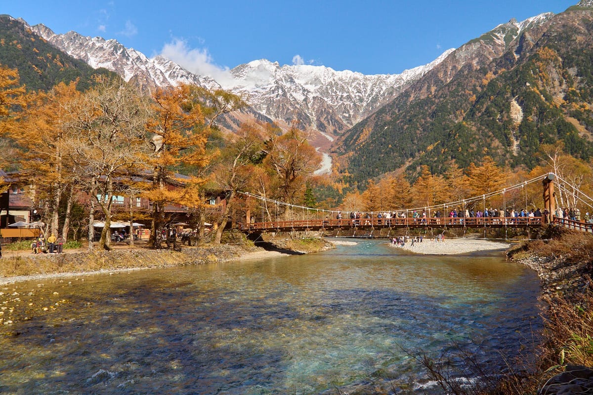
The Japanese Alps are the spine of central Honshu, and Kamikōchi is the one place where anyone can walk right into the heart of the northern range without climbing. The valley floor is level, the trails are boardwalks and gravel paths, and the view from Kappa Bridge takes in Okuhotaka-dake, at 3,190 metres the third highest mountain in Japan.
It was made famous abroad by Walter Weston, an English missionary who climbed in these mountains in the 1890s and wrote about them, and a bronze relief of him beside the river is the focus of the Weston Festival held there each year. Today Kamikōchi is a protected part of Chūbu Sangaku National Park, which is why cars are banned, bins are almost non-existent and the valley closes completely in winter.
For a Japanese learner it is an easy, friendly place to practise. Almost every conversation is about time: how long to the next pond, when the last bus leaves, what time the hotel serves dinner.
Getting there: buses from Matsumoto and Takayama
From Matsumoto, take the Matsumoto Dentetsu Kamikōchi Line, a small private railway run by Alpico, to Shin-Shimashima Station, about thirty minutes, and change to a bus for about an hour up the gorge to the Kamikōchi Bus Terminal. There is also a direct bus, the National Park Liner, from Matsumoto Bus Terminal next to the JR station. Seats on the Matsumoto routes must be reserved, including the return trip, and JR passes are not valid on these private services.
From Takayama, take a Nōhi bus to Hirayu Onsen, about an hour, and change to a shuttle bus for the last twenty-five minutes. In summer, direct buses also run from Tokyo, Nagoya, Osaka and Kyoto on selected days. Drivers park at Sawando or Hirayu and ride the shuttle.
The last bus out leaves the valley around six in the evening, earlier in some seasons. Confirm the time when you arrive and plan your walk backwards from it.
| Japanese | Romaji | Meaning |
|---|---|---|
| 新島々まで一枚お願いします。 | Shin-Shimashima made ichimai onegai shimasu. | One ticket to Shin-Shimashima, please. |
| 上高地行きのバスを予約しています。 | Kamikōchi yuki no basu o yoyaku shite imasu. | I have a reservation for the bus to Kamikōchi. |
| 帰りのバスの時刻表はありますか。 | Kaeri no basu no jikokuhyō wa arimasu ka. | Do you have a timetable for the bus back? |
| 最終バスは何時ですか。 | Saishū basu wa nanji desu ka. | What time is the last bus? |
| 平湯温泉で乗り換えですか。 | Hirayu Onsen de norikae desu ka. | Do I change at Hirayu Onsen? |
The classic walk: Taishō Pond, Kappa Bridge and Myōjin
The standard day visit follows the river upstream. Ask the bus to drop you at Taishō-ike, walk about an hour past Tashiro Pond and through woodland and marsh to the bus terminal and Kappa Bridge, then continue about an hour further on either bank to Myōjin, and come back on the other side. Fit walkers can add Tokusawa, roughly another hour upstream, the last flat stop before the trails climb into the mountains.
The paths are easy, but distances add up. The full walk from Taishō Pond to Myōjin and back to the terminal takes most of a day with stops, so start early.
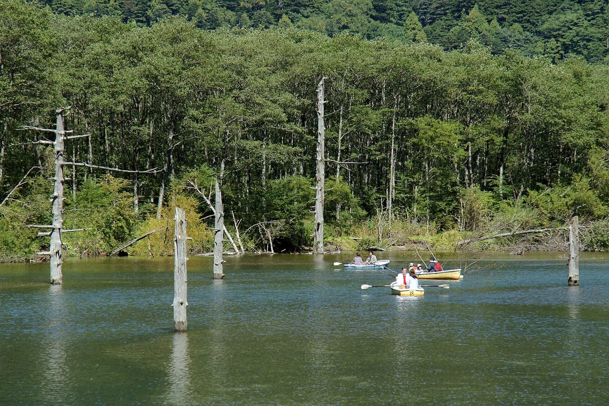
- Taishō-ike (大正池): a lake formed in 1915 when mudflows from Yakedake dammed the Azusa River; dead trees still stand in the water.
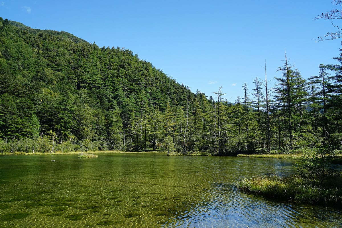
- Tashiro-ike (田代池): a shallow, marshy pond, often misty on autumn mornings.
- Kappabashi (河童橋): the wooden suspension bridge by the bus terminal, with hotels, cafés and the classic Hotaka view.
- Weston relief: a bronze relief of Walter Weston set in a rock near the river, a short walk from Kappa Bridge.
- Myōjin-ike (明神池): a pair of calm, clear ponds within the grounds of Hotaka Jinja Okumiya, the inner shrine of Hotaka Shrine, which asks for a small entry fee.
- Myōjinbashi (明神橋): the bridge to the shrine, with a view of the rocky peak of Myōjin-dake.
- Tokusawa (徳沢): a meadow with a campsite and lodge, known for its old elm trees.
Words on the trail signs
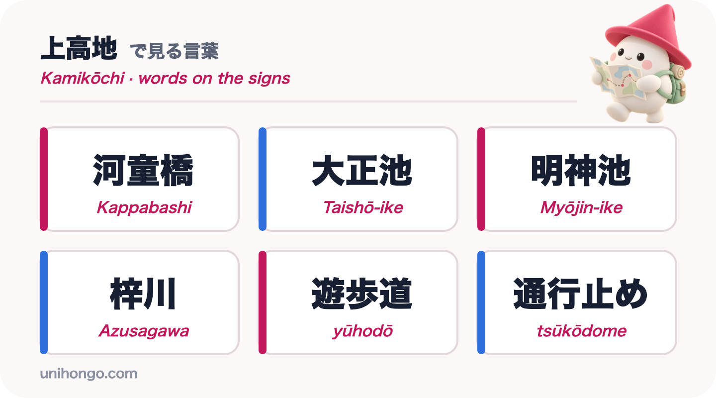
Trail signs in Kamikōchi give a place name, an arrow and a time or distance, usually in both Japanese and English. The Japanese names use a handful of kanji: 池, ike, pond, 橋, hashi or bashi, bridge, and 川, kawa or gawa, river.
The one sign to take seriously is 熊出没注意, kuma shutsubotsu chūi. Kuma is bear, shutsubotsu means appearing, and chūi is caution. If a trail is closed because of a bear, you will see 通行止め, tsūkōdome, road closed.
| Word | Reading | Meaning |
|---|---|---|
| 河童橋 | Kappabashi | Kappa Bridge, the centre of the valley |
| 大正池 | Taishō-ike | Taishō Pond |
| 明神池 | Myōjin-ike | Myōjin Pond, in the grounds of Hotaka Shrine's inner shrine |
| 梓川 | Azusagawa | The Azusa River |
| 遊歩道 | yūhodō | Walking trail |
| 熊出没注意 | kuma shutsubotsu chūi | Caution, bears seen here |
| 通行止め | tsūkōdome | Closed, no through way |
| バスターミナル | basu tāminaru | Bus terminal |
Japanese on the trail and in the valley
Kamikōchi has an information centre at the bus terminal and a visitor centre near Kappa Bridge, where staff give out maps, trail conditions and the latest bear sightings. Shops sell bear bells, kuma-suzu, and rain gear. There are no ATMs or convenience stores in the valley; most places accept cards, but carry some cash for small purchases and toilet donations.
The phrases below cover the questions you will actually ask: how far, which side of the river, where to buy things and whether a trail is open.
| Japanese | Romaji | Meaning |
|---|---|---|
| 大正池で降ります。 | Taishō-ike de orimasu. | I'm getting off at Taishō Pond. |
| 明神池へは右岸と左岸、どちらが近いですか。 | Myōjin-ike e wa ugan to sagan, dochira ga chikai desu ka. | Which is shorter to Myōjin Pond, the right bank or the left bank? |
| 熊よけの鈴はどこで買えますか。 | Kuma-yoke no suzu wa doko de kaemasu ka. | Where can I buy a bear bell? |
| 今日、この道は通れますか。 | Kyō, kono michi wa tōremasu ka. | Is this path open today? |
| トイレのお金はここに入れればいいですか。 | Toire no o-kane wa koko ni irereba ii desu ka. | Do I put the toilet money in here? |
| 荷物を預けられますか。 | Nimotsu o azukeraremasu ka. | Can I leave my luggage? |
Etiquette, safety and timing
Kamikōchi is a special protection zone of a national park, and its rules are stricter than in most tourist spots. They are simple to follow once you know them.
- Take all rubbish away with you: there are virtually no bins in the valley.
- Stay on the trails and boardwalks, and do not pick plants or feed the monkeys and ducks.
- Pets are not allowed in Kamikōchi.
- Carry a bear bell, and avoid walking alone early in the morning or late in the evening.
- Bring rain gear and a warm layer; at 1,500 metres it is cooler than Matsumoto, and mornings in October can be near freezing.
- Go early on weekends in the autumn colours of October, when buses and paths are busiest.
- Heavy rain can close the road into the valley. Check the official site on the morning you travel.
Practise the trail questions before you go
The key conversation in Kamikōchi joins two questions: how long is the walk, and will I be back in time? Ma ni au, to be in time, is the verb to know; ma ni aimasu ka means will I make it?
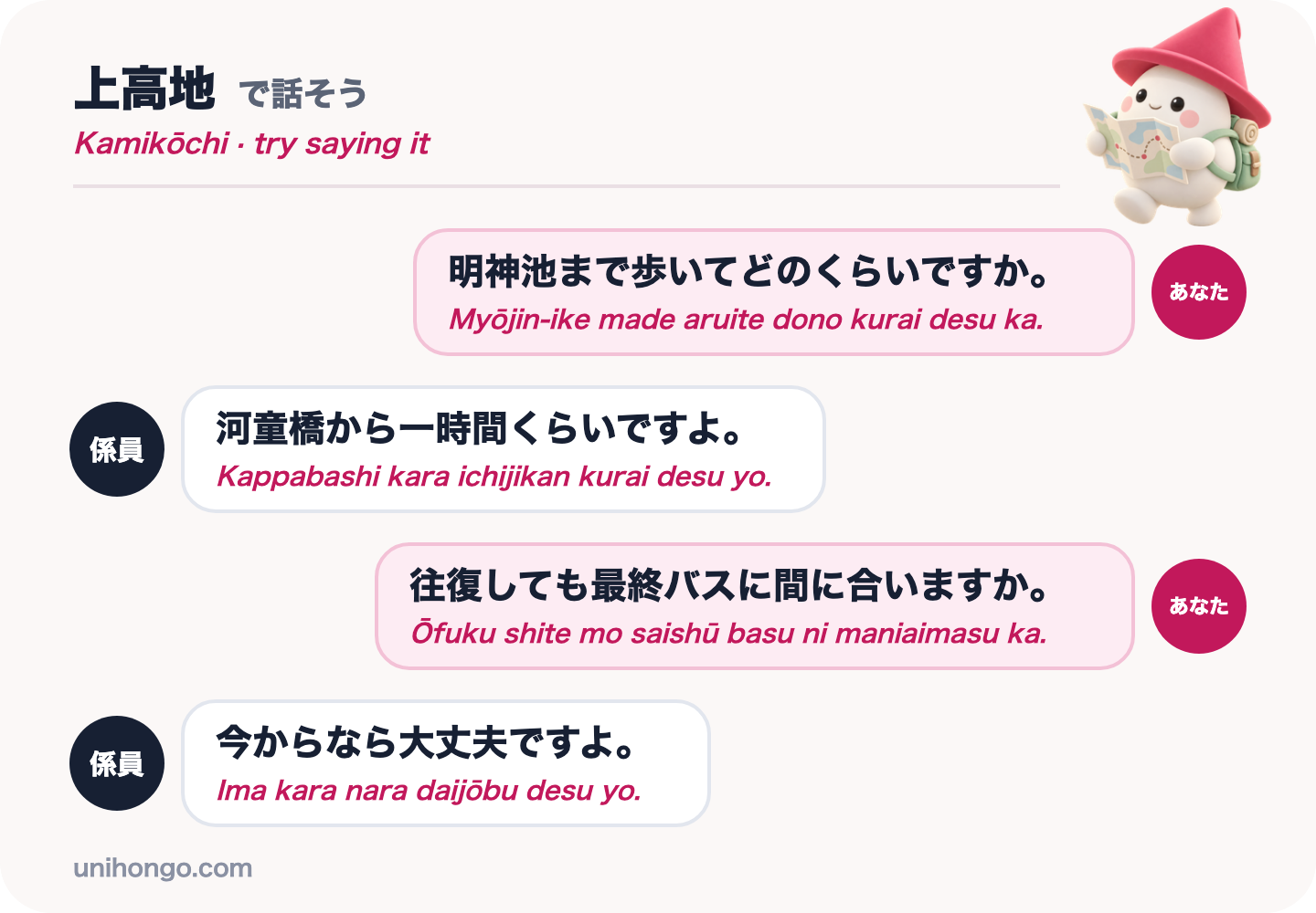
Practise the four lines below until you can say them from memory. Then rehearse with a partner who answers back: in Unihongo, choose the Directions topic and ask your AI Sensei to play the information centre staff, changing the destination to Tokusawa or Taishō Pond each time.
| Japanese | Romaji | Meaning |
|---|---|---|
| 明神池まで歩いてどのくらいですか。 | Myōjin-ike made aruite dono kurai desu ka. | How long does it take to walk to Myōjin Pond? |
| 河童橋から一時間くらいですよ。 | Kappabashi kara ichijikan kurai desu yo. | About an hour from Kappa Bridge. |
| 往復しても最終バスに間に合いますか。 | Ōfuku shite mo saishū basu ni maniaimasu ka. | Will I make the last bus if I go there and back? |
| 今からなら大丈夫ですよ。 | Ima kara nara daijōbu desu yo. | If you leave now, you'll be fine. |
Official information
Season dates, bus timetables and reservation rules, trail closures and bear information are published on the official Kamikōchi website. Check the access page when you plan and the news page on the morning you go.